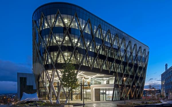
On Tuesday 26th February 2019, Hydrock hosted its latest thought leadership event: St Philip’s Marsh – Bristol’s King’s Cross?
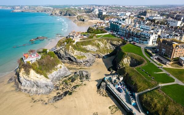
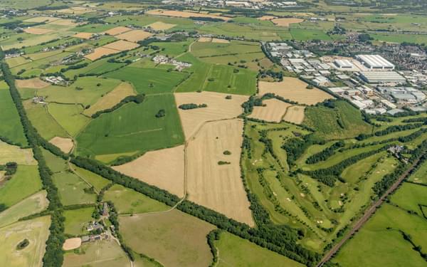
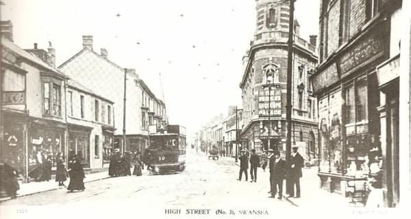
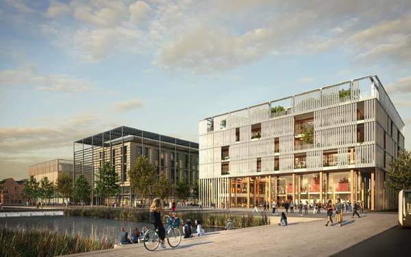
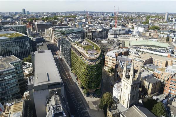
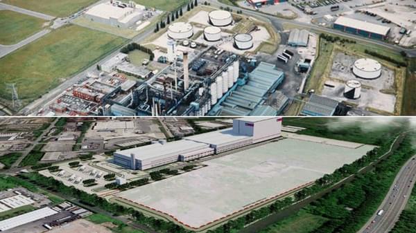
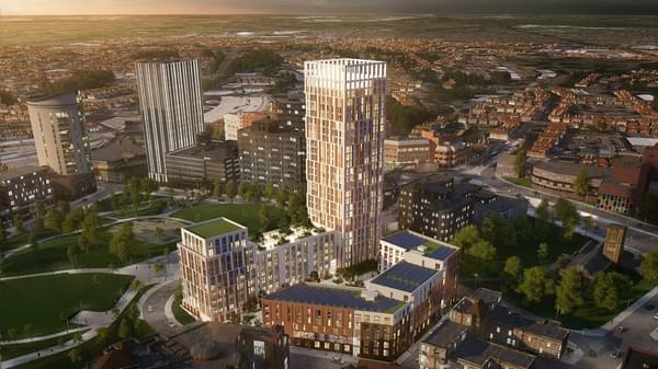
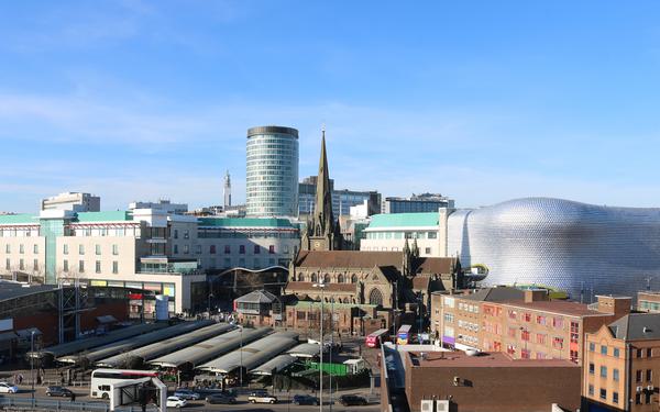
St Philip’s Marsh, an inner industrial area of Bristol, is one of the city’s few remaining major opportunities for redevelopment and regeneration. With numerous issues to overcome, including multiple landowners, ground contamination from historic heavy industry, and the bounding River Avon and Feeder Canal making St Philip’s Marsh almost an island, kick starting development is complex.
A regeneration opportunity faces the city which by area is five times that of London’s King’s Cross, hailed as one of the UK’s best master planning successes.
Hydrock's approach
Bristol City Council has commissioned an official master plan which is due for delivery later in 2019.
In the interim, and with St Philip’s Marsh gaining traction, Hydrock invited representatives from Bristol's built environment community to consider how an aspirational master plan could look.
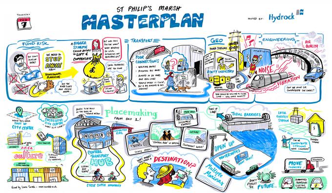
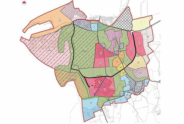
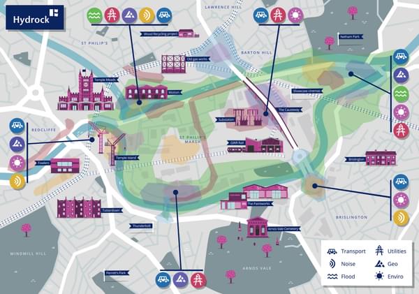
Hydrock’s experience delivering opportunity and constraint reports for clients presented an opportunity to conduct a speculative analysis of the key engineering constraints of the site. We analysed the geotechnical, flood risk, air quality, noise, utility and transportation constraints and illustrated the results to start the conversation.
These constraints were presented to some of Bristol’s best planners, master planners, agents and architects in a bid to generate a theoretical master plan for St Philip's Marsh.
The output was then presented to a live audience of 170 people including Colin Molton, Director of Growth and Regeneration and Zoe Wilcox, Director of Development for Bristol City Council.
Let's start with the background: The engineering constraints of St Philip's Marsh.
Flood risk
Bounded by waterways, St Philip’s Marsh is subject to both river and tidal flooding: A one in 200 year flood event would significantly affect almost half of the site, and primarily waterfront development - the most desirable location for residential. Without the provision of flood defences, individual developments would need to be raised.
Geotechnical
Following extensive industrial use, St Philip’s Marsh remains heavily contaminated in parts requiring remediation prior to new development.
Similarly, made ground, silt deposits and clay have created a layer of relatively soft ground approximately 6 metres deep. Harder Redcliffe sandstone sits below this at c.17m below ground, enabling deep-piled foundations for taller buildings. Data regarding unexploded ordinance is limited following the destruction of the data storage facility during a bomb raid in the second world war.
Transportation
The island nature of St Philip’s Marsh creates a limited number of access routes on and off the site. At present, no bus routes operate due to height restrictions on roads connecting the site with existing transport infrastructure. To the adjacent North West is Temple Meads, a significant rail hub, which provides no active service onto the site. There is little cycle infrastructure, however there is a greenway to the south of the site along the River Avon, and in part a single cycleway along Feeder Road leaving, but not returning to, the city.
Utilities
There is sufficient utilities capacity at this time (gas, water, electric and communications). However, there are a number of significant assets on the site that present as constraints. This includes the primary substation to the east of the site, adjacent to St Philips Causeway. It is unlikely the substation would be relocated due to cost constraints. There are buried HV oil cables running from the north east of the site to the south of the site, however these are located in the highway and should have minimal impact on private development.
Noise
Acoustic levels largely follow the transport infrastructure and the impacts typically microclimatic. The main rail line into and out of Temple Meads presents a noise impact and vibration risk to those sites immediately adjacent to the line. Similarly, the Causeway to the east and A4 Bath Rd to the south present potential noise impact during the day. Beyond the transport network, the nightclub Motion can provide a significant noise impact when weekend 'day raves' are held during the summer.
Air Quality
Air quality issues also follow the transport network. Busy junctions, such as those connecting to the Causeway and at the Totterdown Bridge to the south of the site, regularly see queueing traffic with idling engines producing large amounts of airborne pollution. Diesel trains exiting Temple Meads emit significant diesel fumes and braking trains on the way into the station emit brake dust. Whilst of lower volume, brake dust is notably more harmful to human health.
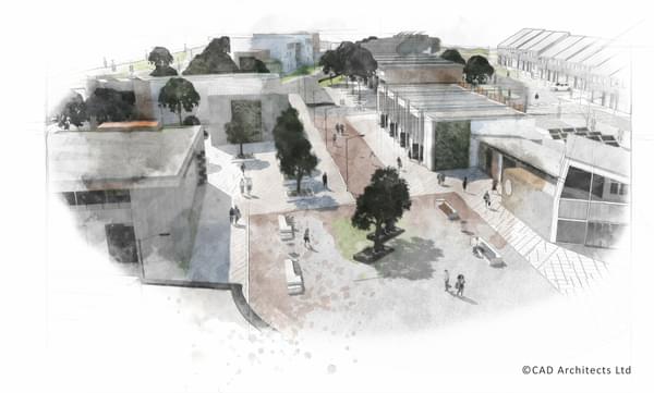
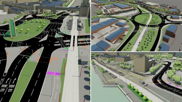
Master planning in a day
In response to the engineering constraints, representatives from McGregor Coxall, ECE Westworks, Stride Treglown, Alec French Architects, Lambert Smith Hampton, Cushman & Wakefield, CBRE, Chapman Taylor, AHR, JLL and Savills attended a half day workshop to discuss and explore the regenerative potential for St Philip’s Marsh.
Ideas discussed included local energy systems, opening up the waterways, the incremental phasing out of cars, the importance of placemaking, the need for a central transportation hub and making visible a strong sense of culture.
The challenge was to distil the myriad of ideas into a coherent and holistic set of strategies that prompted a positive discussion on St Philip’s Marsh’s potential. The output, coordinated by international master planners, McGregor Coxall, was disseminated into ten strategic opportunities revealing the latent potential of St Philip’s Marsh and responding to the engineering challenges discussed.
10 strategic opportunities for St Philip's Marsh
1. A 21st century railway station that catalyses the regeneration of St Philip’s Marsh
A modernised Bristol Temple Meads presents the opportunity to create a unique arrival experience that reflects the growing status of Bristol. This modernisation can reorient the station’s northerly focus towards the south through an array of uses, integrated public plazas and 21st century infrastructure.
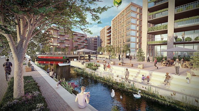
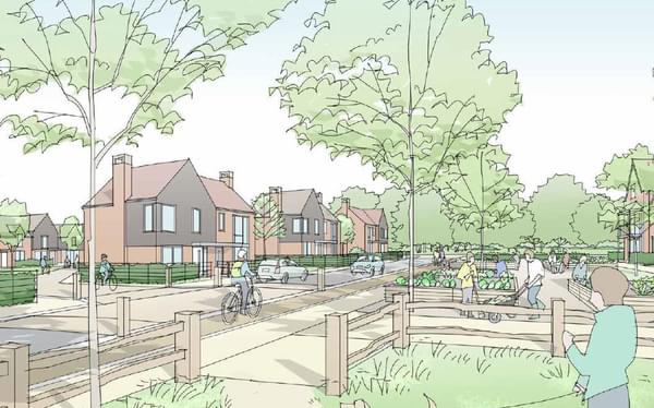
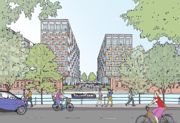
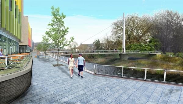
2. A flood resilient canal city that supports waterside living
New canal corridors permeate the urban fabric to integrate improved flood attenuation, ferry access, safe waterfront living and a new vibrant canal district that attracts a diverse demographic of people to St Philips Marsh.
Image credit: ECE Westworks
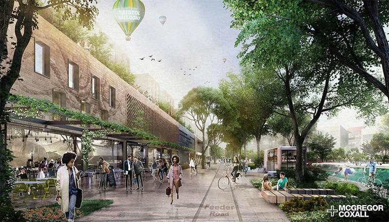
3. A green, multifunctional and activated feeder canal
The Feeder Canal can be transformed into a linear green corridor promoting sustainable transport movements such as ferry, light rail and cycle, active ground floor building frontage and a multi-functional public realm.
Image credit: McGregor Coxall
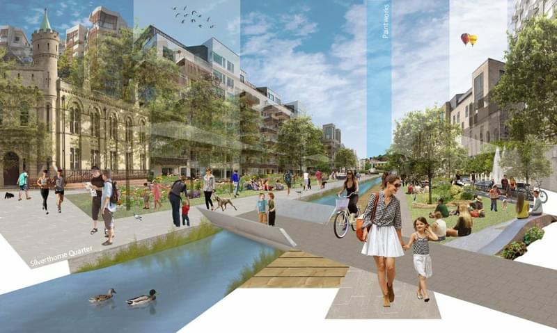
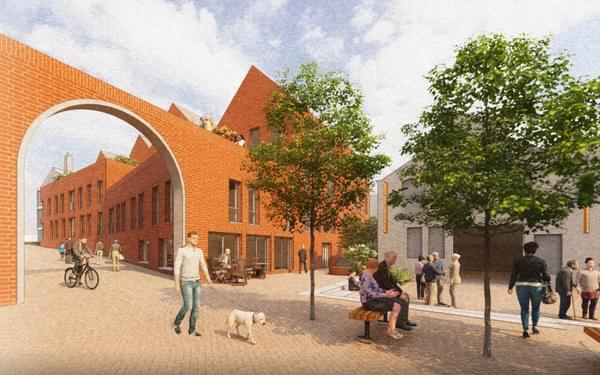
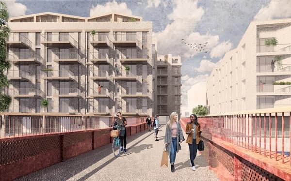
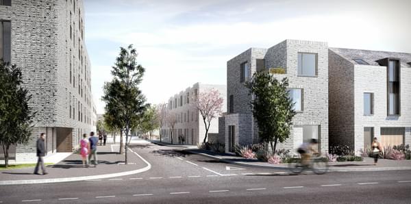
4. Albert Crescent central spine that unites Silverthorne Quarter and Paintworks
Albert Crescent is reimagined as an animated pedestrian friendly spine that connects the creative energy of the Paintworks with the post-industrial regeneration of Silverthorne Quarter.
Image credit: Chapman Taylor
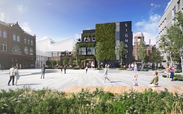
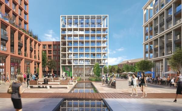
5. A public heart that celebrates the culture of St Philip’s Marsh.
A new internationally significant public square is centrally located within the dense heart of the St Philip’s Marsh neighbourhood, offering a multiple array of social and cultural and immersive activities.
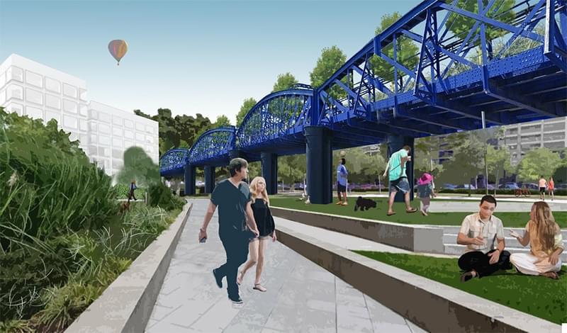
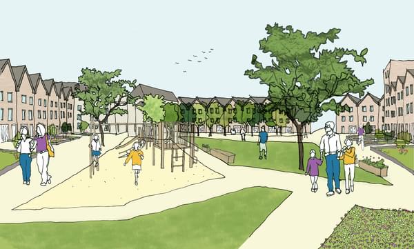
6. A unifying park and recreation zone that connects to Bristol’s infrastructure
Raised above the existing rail yard a new park connects to the subterranean world of the causeway supporting sports recreation and play spaces that are easily accessible to the living and working inhabitants.
Image credit: Alec French Architects.
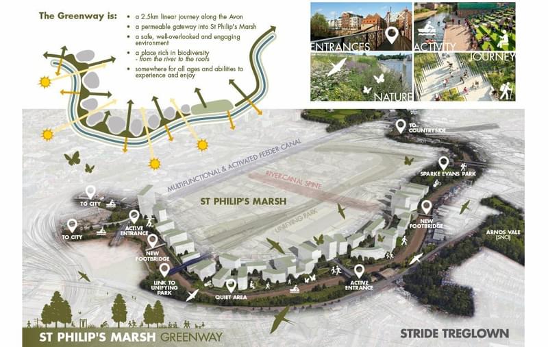
7. A naturalised St Philip’s Marsh greenway that enhances climate resilience and social wellbeing
A naturalised greenway brings together people, play, movement and nature through a rich and varied collection of climate resilient vegetation that celebrate the River Avon’s tidal shifts.
Image credit: Stride Treglown.
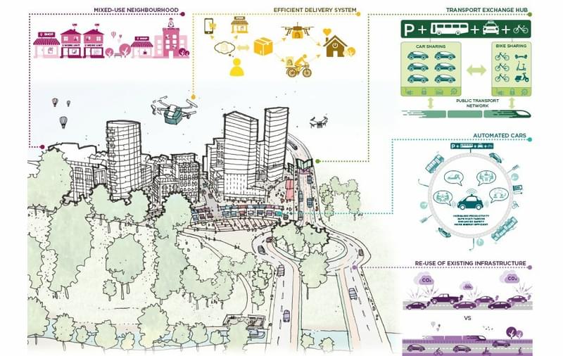
8. A people friendly precinct that is supported by smart sustainable modes of transport
Through automated car travel, sustainable transport movement and parking depots strategically located at key intersection points a people friendly neighbourhood can be established in Bristol’s city centre.
Image credit: AHR
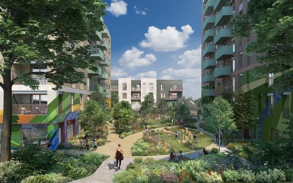
9. A dense, mixed use and liveable neighbourhood that embraces its past and looks to the future
St Philips Marsh can be a global exemplar in supporting high density, mixed use living that celebrates the areas industrial past through integrating commercial, residential, technology, incubators and light industry uses together.
10. A sustainable and carbon neutral district
Sustainable food production, waste management, district energy production and water recycling can be coordinated and managed to create a global leader in sustainable and carbon free living.
Get in touch
We initiated this debate in order to make Bristol world class. To think big. If you have a view, tweet us @hydrocknews.
Alternatively, if you would like more information about any aspect of this article, St Philip's Marsh or Hydrock's broad range of engineering consultancy services, please contact Chris Bowie-Hill, Technical Director, Hydrock.
If you would like to understand more about master planning, urban design and the ideas within this article, please contact Mike Cowdy, Director, McGregor Coxall.
Explore related
- News
Lights, Camera, Action! Sunderland gets set for Hollywood with planning approval of Crown Works Studios
Read more

- News
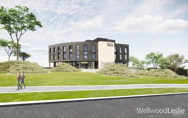
Hydrock’s fire safety experts support planning application for new R&A project in St Andrews
Read more
- News

Hydrock brings expertise to NHS estates programme to help meet sustainability and safety goals
Read more

- News
Ground-breaking land contamination conceptual model paves the way to a cleaner and safer future at Sellafield
Read more
- News

James McNay joins HSE Industry Competence Committee (ICC) to guide safer building construction for everyone
Read more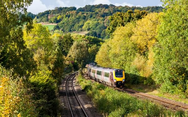


- News

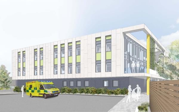
Hydrock appointed to deliver catheterisation scanner suite at St Bartholomew’s Hospital
Read more


- News
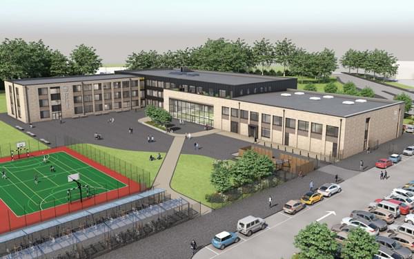
Hydrock nets geo-environmental and geo-technical role on multi-million-pound Belle Vue Academy site
Read more
- News
Hydrock support successful planning application to extend Western Community Hospital in Southampton
Read more

- News
Hydrock’s Civil & Structural engineering team appointed on next stages of £104m Patchworks development
Read more- News
Hydrock supports feasibility and planning application on Grade II listed buildings in Leeds
Read more


- News
Civils & Structures team move to detailed design with Mi-space on 4.65ha Barne Barton site
Read more


- News
Hydrock advising BoKlok – the Skanska and IKEA joint venture modular housing business
Read more
- News
Hydrock on the strategic masterplan team for Cyber Central Garden Community, Cheltenham
Read more
- News
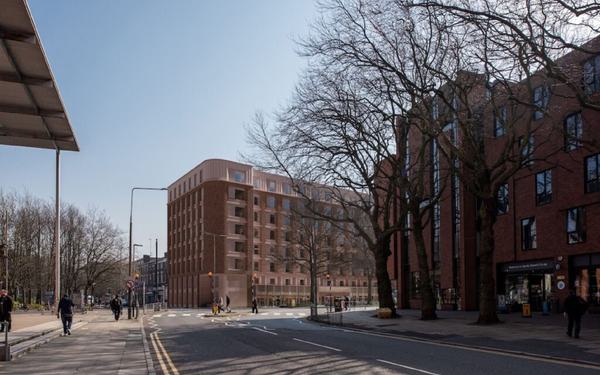
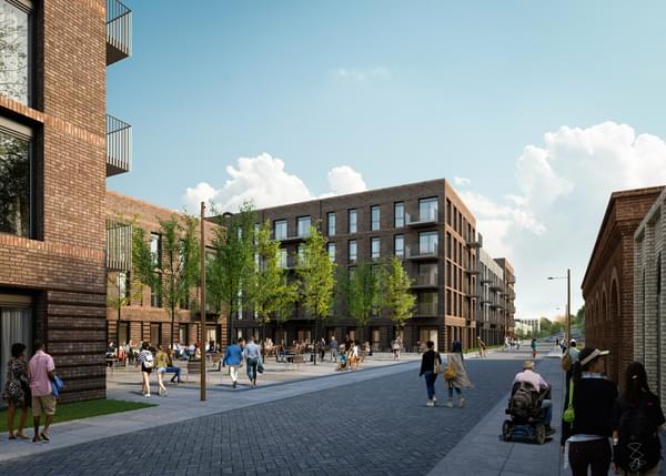
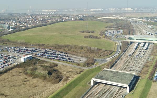
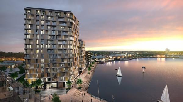
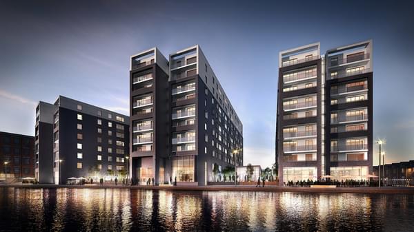
Hydrock's multi-disciplinary expertise helps unlock massive residential site in Bristol
Read more


- News

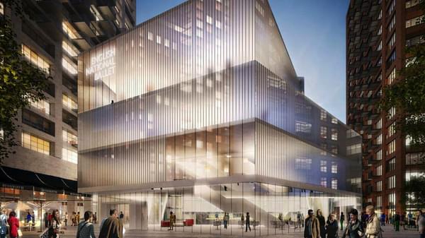
Stunning new headquarters for English National Ballet unveiled by London mayor, Sadiq Khan
Read more- News
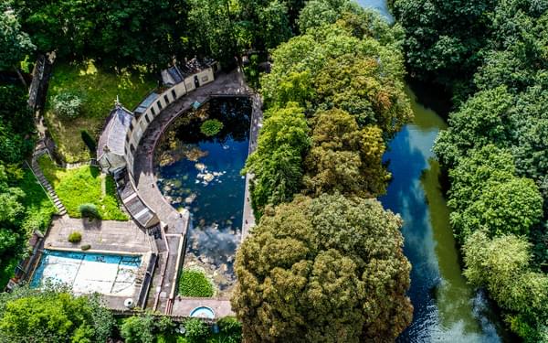
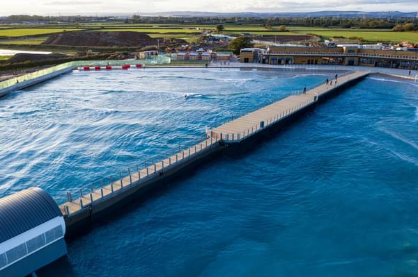
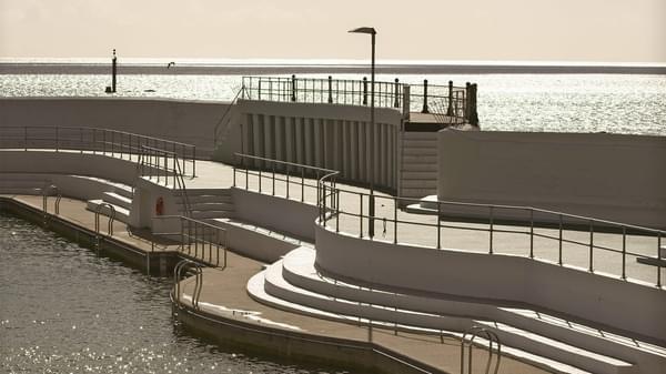
Hydrock provides engineering services to transform Grade II* listed Cleveland Pools lido in Bath
Read more


- News
Transport team contribute to successful planning submission to revive Andrew Gibson House, Merseyside
Read more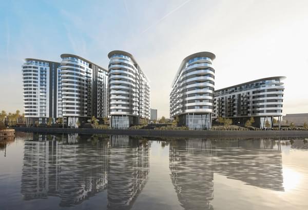

- News
Multi-disciplinary advice helps secure planning for landmark footbridge in Pontypridd
Read more- News
Ground investigation work contributes to planning application for 282 homes in Stretford, Manchester
Read more
- News
Hydrock helps secure planning for refurbishment of historic Generator Building, Bristol
Read more

- News
Ground-breaking initiative to provide affordable housing to transform lives of Bristol’s young homeless
Read more


- News

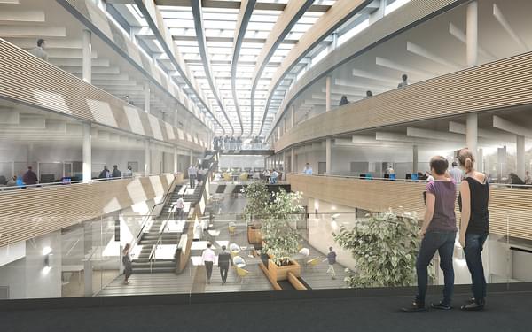
The University of the West of England (UWE) appoints Hydrock to design new multimillion pound engineering building
Read more- News
Hydrock supports Linkcity with planning submission for 375 new homes in central Bristol
Read more


- News
Delivering key infrastructure assessments for proposed strategic rail freight interchange
Read more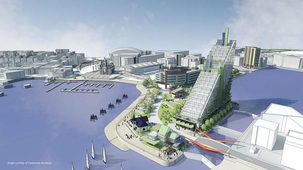
- News
Hydrock’s highways and infrastructure advice helps secure planning approval for 345,000 sq ft industrial unit at CORE 42
Read more
- News
Hydrock appointed to appraise transport issues within historic Porthcurno Valley, Cornwall
Read more
- News
Hydrock’s transportation team help secure planning on 400-bed student scheme in Bournemouth
Read more- News
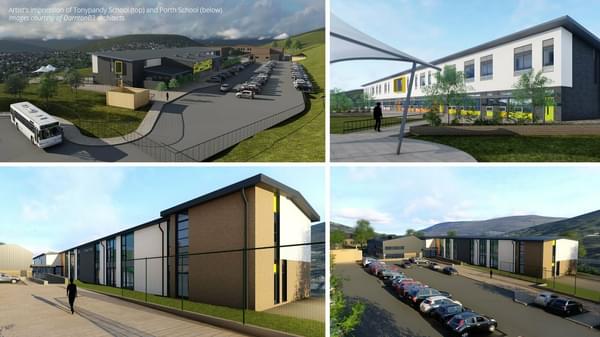
Hydrock delivers the multi-disciplinary engineering design on two middle schools in Rhondda Cynon Taf
Read more- News

Kier appoints Hydrock to design Bristol Aerospace Centre – the permanent home for Concorde
Read more- News
Appointed to support the delivery of world-class resources for the UK’s agri-tech sector
Read more
- News

Steel frame designed for Bright Bricks’ 160,000 piece LEGO® version of the Soyuz Capsule
Read more
- News
Hydrock appointed by John Sisk & Son Ltd to deliver works on Manchester Life development
Read more

- News
Lights, Camera, Action! Sunderland gets set for Hollywood with planning approval of Crown Works Studios
Read more- News